13 June, 2022
0 Comments
1 category

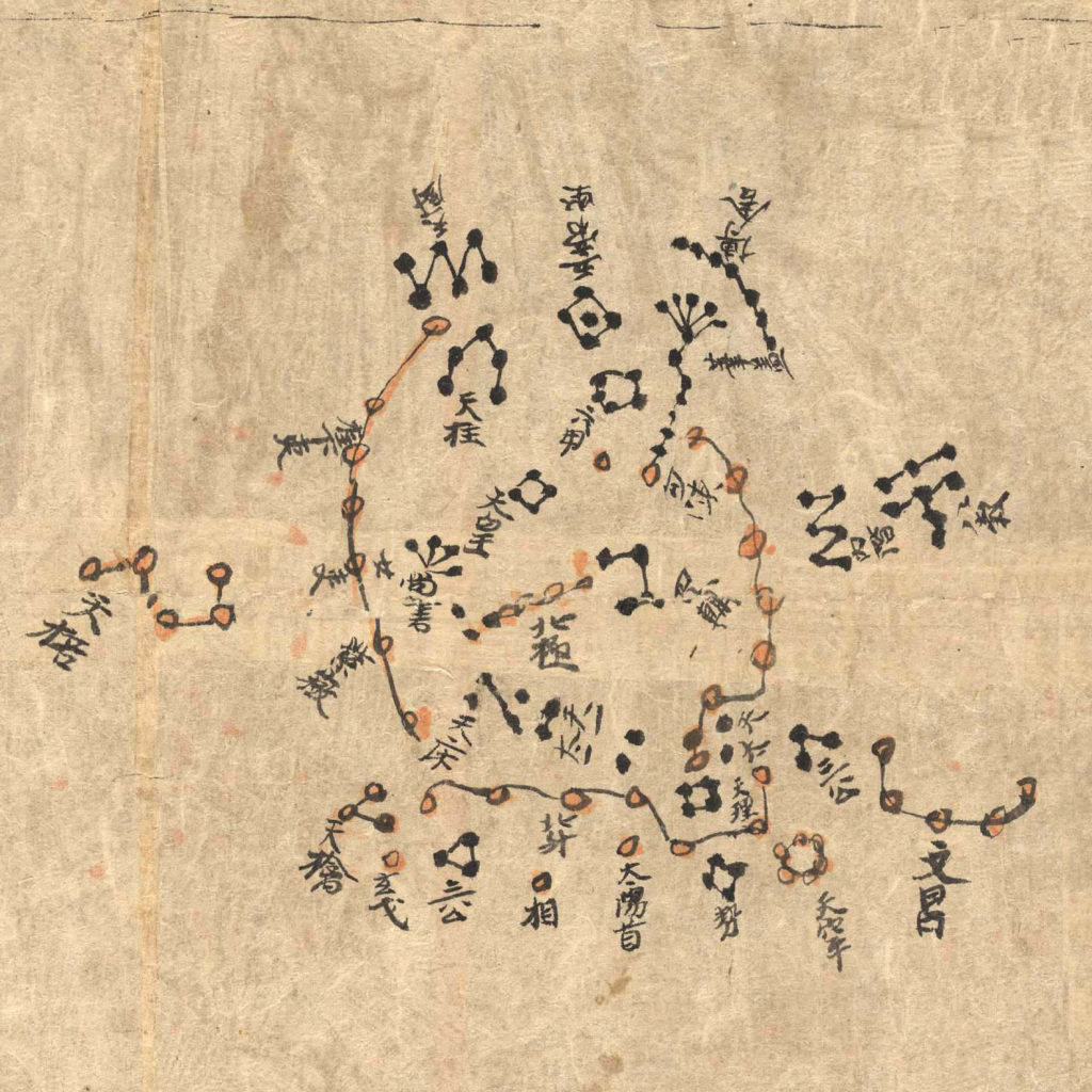
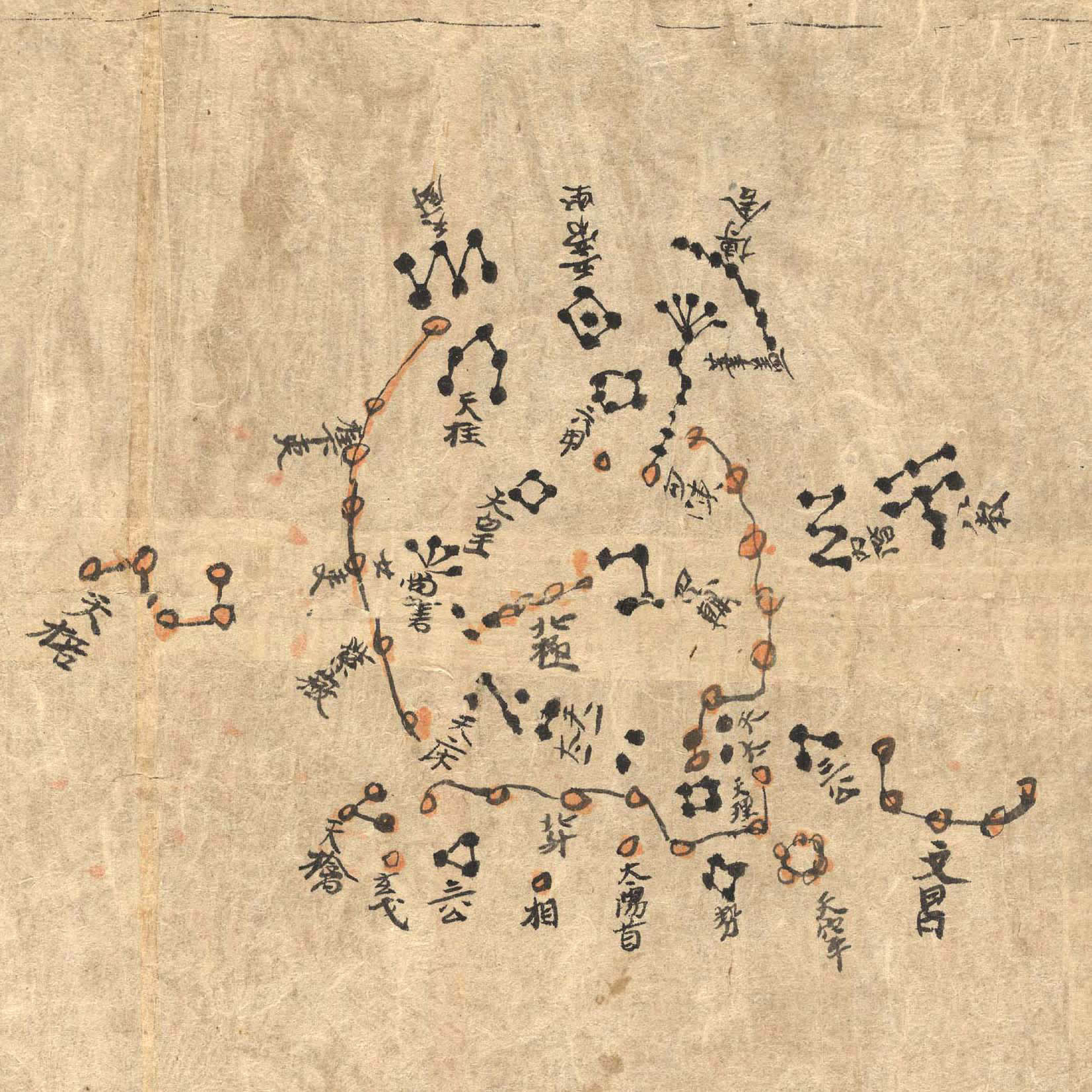
This sky chart is from a star atlas was found among 40,000 other manuscripts sealed in a Buddhist Mogao cave in Dunhuang on the Chinese Silk road.
The charts, drawn on a 3.9 meter long scroll made of mullberry paper, recorded the sky as visible from China around the years +(649-684) in the early Tang Dynasty using methods still used in geographical mapping today, and have been found to be accurate to within a few degrees.
Astronomy was an imperial science in ancient China, and court astronomers and astrologers created star charts for Chinese emperors to use in making political and warfare decisions.
Above: The North circumpolar region (Map 13) from the polar region down to a celestial latitude of about +50°.
Category: Culture


